One Map Technical Assistance Project Wraps Up
The year has gone quickly for the LEI team working on the One Map Technical Assistance project in Indonesia. The primary objective of this technical assistance was to assist with the project preparation of the One Map Project – a project to support the implementation and acceleration of Indonesia’s One Map Policy.
SUCCESS STORY – Land Tenure Registration Ensured Land Rights to all family members in Nyange
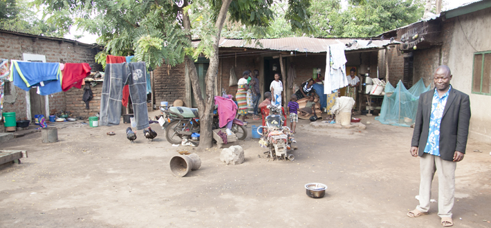
At the age of 60, Ibrahim Ng’wala a husband of six wives with 17 children has lived his entire life in the village known as Nyange. This village is located nearby the famous Kilombero Sugar Company Limited in Kilombero district, Morogoro Region.
LTSP promotes debate on the review of legal and regulatory framework on Land Administration and Governance
Tanzania’s Land Tenure Support Programme (LTSP) has again demonstrated that there is strong national and sectoral leadership and commitment to improved land service delivery and transparency in Tanzania. In any land project there is always a need for strong communication and coordination within and between government and non-government stakeholders. The LTSP has recently established a Multi Stakeholder Group (MSG) to best facilitate and improve inter-agency cooperation, in support of land tenure reform as envisioned under the Strategic Plan for Implementation of Land Laws (SPILL) 2013.
2017 FIG commission 7 and 9 annual meetings and Congress in Cartagena Colombia
From the 4th to the 8th of December 2017, the International Federation of Surveyors (or FIG in French), held the annual meetings of Commission 7 and Commission 9 in the city of Cartagena, Colombia. The president of the organising committee was Dr Daniel Paez, a LEI Land Specialist based at our headquarters in Wollongong. LEI was a main sponsor of the event.
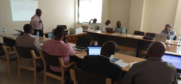
Reflections Workshop promotes community-based organisation participation in land initiatives
The Mekong Region Land Governance (MRLG) project is currently undertaking a planned program of monitoring and evaluation (M&E) activities. These are designed to assess the effectiveness of some of the MRLG Learning and Alliance (L&A) and Grant-funded activities.
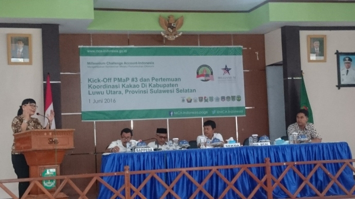
Infographic video used to deliver key PMaP3 messages to local government and public audiences
Over the past 12 months, Participatory Mapping and Planning Sub-Activity No. 3 (PMaP3) has been delivering three tasks across 11 districts in Indonesia. The following infographic video was used as part of the stakeholder management strategy to provide a comprehensive and uncomplicated overview of PMaP3 to target audiences. It shows how the program was developed to address the problem of land use and space – a result of long-term poor planning and overlaps in spatial information management.
Recognising customary tenure in Cambodia: Workshop aims to increase youth understanding
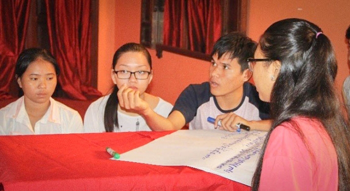
Indigenous youths in Cambodia were provided an opportunity to discuss the current situation of land tenure insecurity in relation to indigenous peoples (IP). The national Cambodia Indigenous Peoples Organization (CIPO) held a workshop in December 2016 to facilitate information and experience sharing, awareness raising and debate among young people – with the aim being that these young people would come away with a better understanding of contemporary issues faced by IPs.
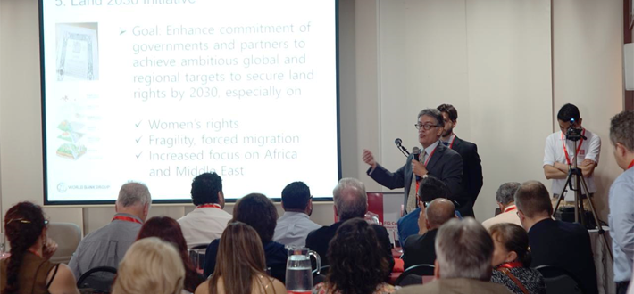
From Africa to the Asia-Pacific: LEI and MRLG representatives showcase projects in Washington D.C.
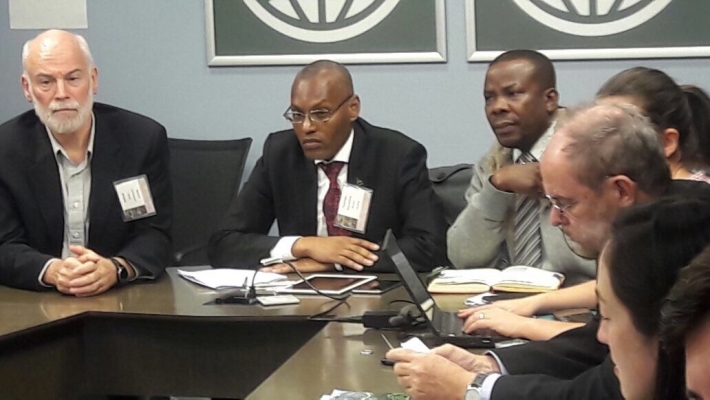
The World Bank annual conference on Land and Poverty (20-24 March) was bigger than ever in 2017, drawing a record 1,300 participants from around the world. This year’s theme was Responsible Land Governance—Towards an Evidence-Based Approach.
Technical assistance winding down in Uganda
LEI continues to provide technical assistance to the DeSINLISI project in Uganda. This World Bank-funded project is currently being implemented by IGN FI of France. Our sub-contracting arrangement includes the provision of technical assistance in the areas of land administration and valuation.
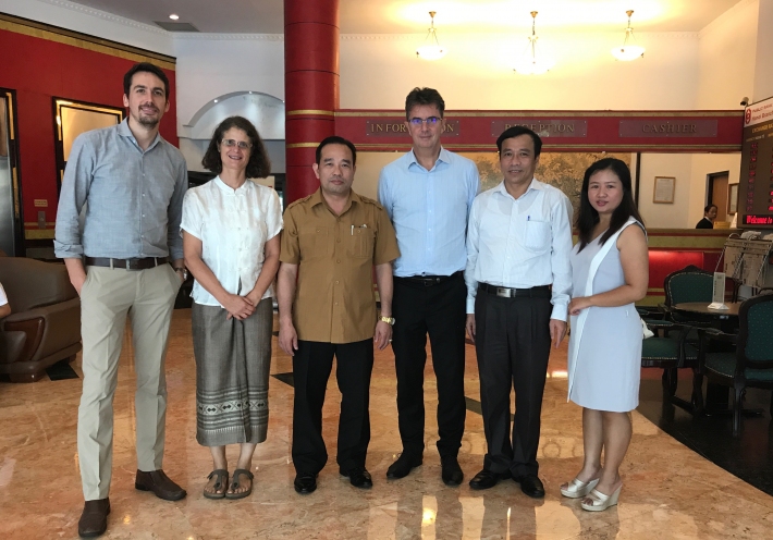
Third PMaP project launched in Indonesia
In May 2016, LEI finalised contract negotiations for PMaP3 – funded by MCA-I. As is the case with PMaP2, this project is part of the Participatory Land Use Planning Activity (PLUP) under the Green Prosperity Project (see http://gp.mca-indonesia.go.id/en/). PLUP implementation focuses on investments in administrative boundary setting, updating and integrating land-use inventories and enhancing spatial plans and capacity building at the district and provincial levels.