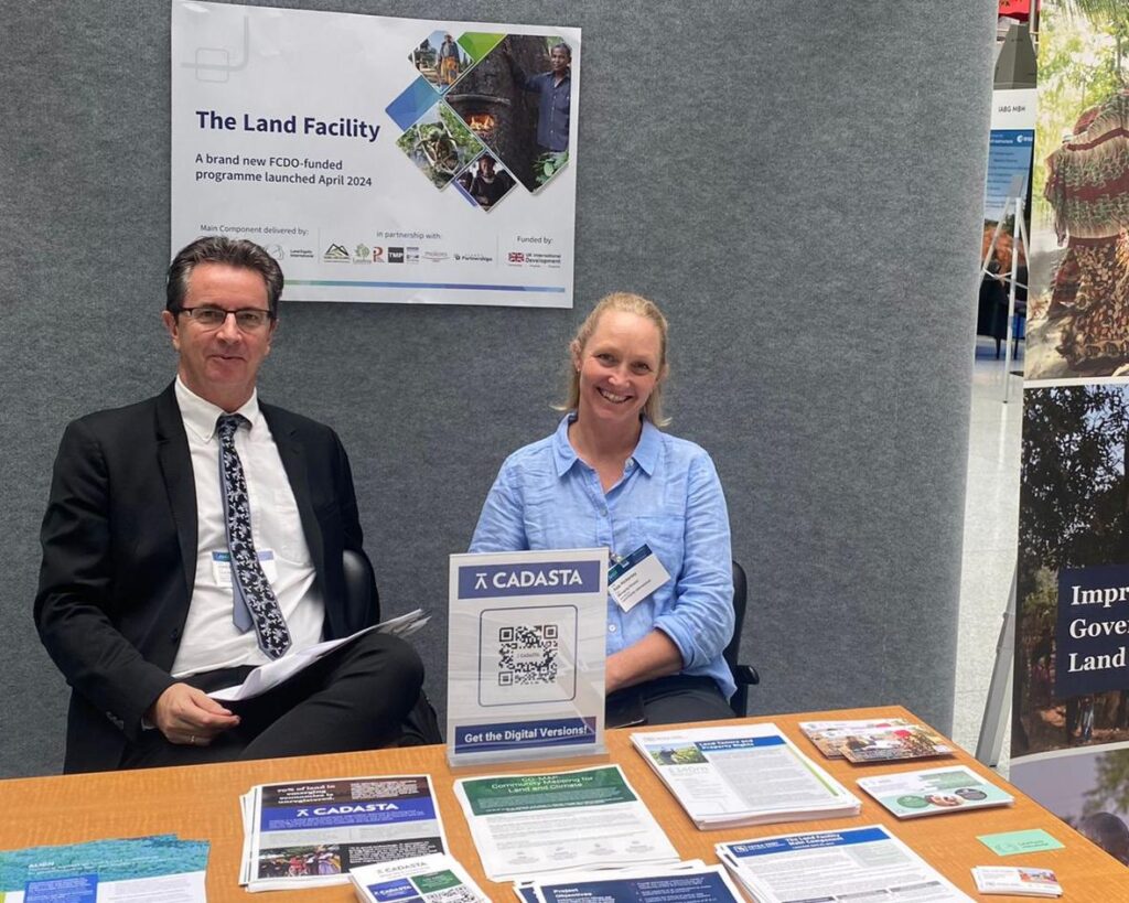
Participatory Mapping and Planning (PMaP) 7

Project details

Country

Client

Project Timeframe

Key Services

Project Key Information

Building local government capacity in spatial planning across five districts in Riau Province.

Project Narrative

In late 2008, Indonesia was selected by the Millennium Challenge Corporation (MCC) Board of Directors as a country eligible for a compact. The Government of Indonesia (GoI; through the National Development Planning/National Development Planning Agency (BAPPENAS)), was responsible for coordinating the development and implementation of the Compact (MCA), which covered three key programs, one of which was the Green Prosperity (GP) Project. The Compact implemented gender activities, environmental assessments and social assessments to support program implementation.

Projects such as these respond to constraints to economic growth and were priorities in the GoI’s national development strategy. The GoI also made a commitment to reduce greenhouse gas emissions by 26 percent by 2020, while maintaining a target of seven percent annual economic growth.

The GP Project consisted of four procurement activities: (1) Participatory Land Use Planning Activity (PLUP); (2) Technical Assistance and Oversight Activity; (3) GP Facility Activity, and (4) Green Knowledge Activity. PMaP7 was the seventh project in a series of eight PLUP sub-activity projects. It covered three main tasks:

  • Task 2: Acquisition of geo-spatial data and preparation of geographic information system (GIS) databases on land use/land cover
  • Task 3: Compilation and geo-referencing of existing and pending licences and permits for land and natural resource use, and
  • Task 4: Enhancing district spatial plans through capacity building in spatial planning, enforcement and management of land use information in spatially-enabled databases.

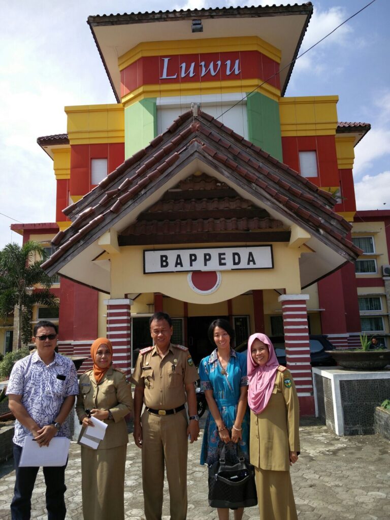
PMaP7 undertook capacity building activities with local government in five districts in the Riau province (Kampar, Kuantan Singingi, Pelalawan, Rokan Hilir and Rokan Hulu districts).  The aim was for spatial information and technology to be more effectively used to develop spatial plans. In particular, this spatial planning incorporated low carbon/renewable energy activities in these plans.

Key services provided:

  • Kick-off meetings at the provincial and district levels to ensure the benefits of PMaP7 were understood by a wide range of stakeholders and that knowledge of the wider MCA-I program was established. Representatives from the sub-district and village communities were invited to attend (as requested by Bappeda Provinsi).
  • Collecting, assessing, analysing and processing geo-spatial data to map land cover and for this to be used  in the five districts.
  • Identifying missing, inaccurate, outdated and inconsistent data with recommendations to acquire data and resolve inconsistencies, and
  • Developing and implementing a comprehensive stakeholder action plan.
  • Collecting legal instruments and analysing regulatory procedures for land management
  • Collection, compilation and geo-referencing of land use concessions, permits and licences, community claims and customary forests and land disputes to input in the IMS
  • Analysing geo-referenced data to identify under-utilised and damaged land, overlapping/conflicting concessions/permits/licences, gaps or inconsistencies in data
  • Assessing procedures for community consultation, data exchange and sharing
  • Reviewing and reporting on the operations of OSS licensing procedures, and
  • Providing guidance on policy and improved operational mechanisms to approve concessions, permits and licences and resolved disputes and monitor and evaluate implementation and adherence to legislative requirements.
  • Building the capacity of government entities who collect, manage, update and make decisions based on land use and land cover data, and land use licence and permit information (collected in PLUP Activities 2/3), and
  • Establishing systems that use this data, which are sustainable and transparent. This was particularly important where planning/licensing decisions were concerned.

Related Projects

Global Land Facility Programme

LEI are partnering with lead, Tetra Tech, in the implementation of the Land Facility program, funded by the UK FCDO. The Land Facility (LF) is designed as an offer to partner countries with a UK post, to co-design effective programs of land related reform. It can provide rural, forestry and urban land governance expertise and assistance to support partner governments’ efforts to expand their capacity to plan, manage and implement national land administration policy, legislation and system reforms.

Project Narrative Effective land governance systems are key to economic growth, rural livelihoods, climate change resilience, and women’s rights. Land is a key root cause of conflict, with increasing competition

Vanuatu Land Development, Greater Port Vila Infrastructure, Affordable Housing Vanuatu, Resilient Settlements Development, VARS Project Vanuatu, Land Development Strategy Vanuatu, Housing for Low-Income Earners Vanuatu, Vanuatu Urban Planning, Informal Settlements Upgrading, Flood Mitigation Vanuatu, Vanuatu Land Administration, Greenfield Residential Development, Public-Private Partnerships Vanuatu, Vanuatu Land Policy Advisory, Vanuatu Land Development Legal Services, Community Trusts Vanuatu, Sustainable Urban Growth Vanuatu, Vanuatu Infrastructure Development, Land Subdivision Vanuatu, Vanuatu Government Land Development

Vanuatu Affordable and Resilient Settlements (VARS) Project: Procurement of Land Development Policy, Legal and Marketing Advisory Services

The International Development Agency of the World Bank Group is supporting the Government of Vanuatu (GoV) with the Vanuatu Affordable and Resilient Settlements Project (VARS) in an amount of US$25 million, to achieve a long-term vision to provide potable water, sanitation, roads, drainage, and electricity to low-income households.

Project Narrative The overarching development objectives of VARS are to (i) improve access to and resilience of infrastructure and services in selected new and existing settlements, and (ii) strengthen land

Lesotho 2 Compact, Millennium Challenge Corporation, MCC Lesotho, Lesotho economic growth, Lesotho Land and Gender Activity, Market Driven Irrigation Horticulture, MDIH Project Lesotho, rural income improvement Lesotho, irrigation infrastructure Lesotho, commercial horticulture Lesotho, gender equity Lesotho, Lesotho irrigation systems, rural land registration system, gender reforms Lesotho, smallholder farmers Lesotho, anchor farmer Lesotho, irrigation scheme development, land use planning Lesotho, rural land market Lesotho, landholder rights Lesotho, Community Councils Lesotho, land registration Lesotho, Lesotho resettlement services, commercial farming partnerships Lesotho, Tetra Tech consultancy, Land Equity International, Lesotho agriculture projects, rural livelihoods Lesotho, agricultural production agreements, Lesotho land reforms

Market Driven Irrigation Horticulture (MDIH) Land and Gender Activity

The Lesotho II Compact was an agreement between the US government-funded Millenium Challenge Corporation (MCC) and the Kingdom of Lesotho (GoL). It was a $US300 million programme to address binding constraints to economic growth in Lesotho. The Lesotho II compact consisted of three projects designed to combat constraints to economic growth by either strengthening private sector participation and/or by improving government coordination, capacity and execution.

Project Narrative The Lesotho Land and Gender activity (L&G Activity), supported the Lesotho Millennium Challenge Account-II (MCA-Lesotho II) to meet the objectives of the Market Driven Irrigation Horticulture (MDIH) Project

In spirit of reconciliation, Land Equity International acknowledges the Traditional Custodians of country throughout Australia and their connections to land, sea, and community. We pay respects to their Elders past and present and extend that respect to all Aboriginal and Torres Strait Islander people.