Project Narrative
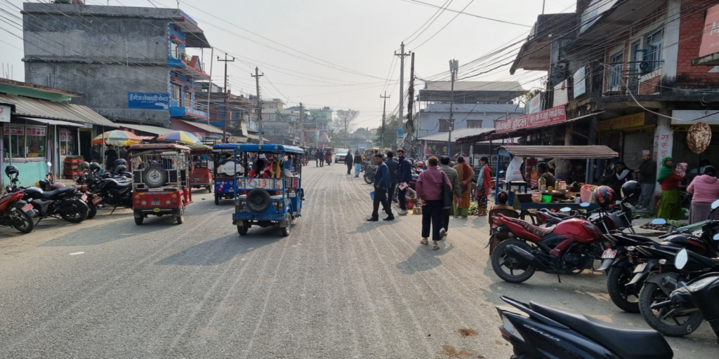
The Reducing Deforestation through Improved Spatial Planning, abbreviated as Papua Spatial Planning (PSP) was a collaborative effort between the Government of Indonesia and the Government of United Kingdom, implemented in partnership with Land Equity International and Daemeter. The project saw the establishment of a Technical Assistance Facility providing support for improved spatial planning and low carbon development, with a focus on Papua and West Papua provinces. The project team influenced across national through to sub-national levels, fostering transparency and constituency in spatial planning processes and promoting national policy buy-in through dialogue and strategic engagement.
Referred to as the Papua Spatial Planning (PSP) project, outcomes include:
- Revised and agreed spatial plans for Papua and West Papua provinces, clearly defining conservation and development areas;
- Better recognition of Indigenous people (adat) claims and communal community management of forest in Papua and West Papua spatial plans;
- Secured national support to protect Papua forest and support Papua provinces in their low carbon development pathway
Key Project Services
LEI has a nearly 30 year history of partnership with the Government of Indonesia, and the Papua Spatial Planning (PSP) project has been a particular highlight.
Key activities of the Technical Assistance Facility included:
- Establishing a programme management unit in Jakarta, with programme teams co-located in Jayapura and Manokwari provincial government offices, and liaison officers supported in Jakarta.
- Rapid assessments guiding the inception phase, to summarise the current status, context and needs of Papua and West Papua with regards to spatial planning.
- Targeted Spatial Planning Workshops and ongoing socialization, awareness raising and training to proactively consult, gather inputs, mitigate issues and prioritise actions.
- Establishing a Flexible Fund to support government, academic and civil society stakeholders in undertaking selected activities aligned with programme objectives.
PSP was a project founded on trust, mutual understanding and aligning perspectives. Early co-location of teams, inception stage assessments and spatial planning workshops were undertaken to build rapport, listen and build engagement. Technical capacity strengthening was a repeated request from government at provincial and district levels, and the team brought in local universities and NGOs support ongoing engagement around capacity and promote post-project sustainability. Workshops were complemented by socialisations, targeting government representatives, NGOs and civil society organizations (CSOs). Socializations were designed to promote awareness and build mutual understanding of spatial planning processes, including sensitizing citizens to spatial planning products, and improving community/public participation in spatial planning processes. This combination of training and consensus building drew on lessons from past successful projects (such as the MCA-Indonesia Participatory Mapping and Planning projects).
The Sustainable Use Zone, or KPB, is an innovative spatial planning mechanism to protect forest within cultivation areas whilst enabling the sustainable use of forests by local people. To our knowledge, this is the very first time that such duality of use – protection and sustainable use – has been accommodated in Indonesia’s spatial plan system. – PSP Final Report, 2023
Several mechanisms were adopted to ensure flexibility to meet adjusting targets, capture knowledge and experience and adjust to emerging policy and spatial planning paradigms. A Technical Advisory Facility was established to provide short-term, quick turnaround review and inputs of technical material, whilst a Project Steering Committee provided overarching guidance and checks. A Flexible Fund was established, to respond directly to government requests – for example, to assist the integration of adat land mapping, conflict resolution, training activities and flow on Training of Trainers to support district level government staff. Clear operational guidelines were established around risk analysis and mitigation measures to ensure Value for Money and effective monitoring, evaluation and learning – so that all funds directly contributed to project objectives and long term sustainability.
“PSP assistance in preparing the RZWP3K document, yielded results within a few months of being able to obtain technical approval from the Minister of Maritime Affairs and Fisheries and becoming the 5th province to obtain the said technical approval after the Job Creation Law” – Ivony May Tawurisi (Section Head of Marine and Small Island Spatial Management, Marine and Fisheries Office of Papua Province) [February, 2023]
Key achievements from the programme include:
- Over 3 million hectares of forest and land safeguarded as protected areas and the programme-innovation ‘sustainable development zones’ in approved spatial plans
- 6.7 million hectares of land protected for sustainable land management in draft spatial plans
- Over 8 million hectares of adat territory integrated into approved spatial plans, facilitated by extensive adat community engagement and trust-building.
- A mobile app was developed to enable monitoring of land compliance by government and communities, with uptake leading to 50 possible infractions reported.
- 3 new national policies/directives developed and adopted covering protected areas zoning, adat territory integration and alignment between spatial plans and development plans.
- >18,000 forest-dependent people having access to spatial planning consultations
- 2 publicly accessible spatial planning portals developed – building on portals developed in other provinces, under past development partner funding – making over 65 spatial planning documents available.
- 8 policy briefs and papers along with multiple guidance documents, covering Green Spatial Planning, REDD+ strategy and action planning, Green Business Development and other guidance to national and sub-national governments.
- Extensive multi-modal training across government staff, civil society, universities and professional associations, including online, on-the-job, training of trainers, coaching and non-technical training sessions, extension of training beyond government to community-based organisations, civil society, universities and professional associations.
- Led joint workshops on roles and responsibilities to implement the carbon economic value (Nilai Ekonomi Karbon/NEK) in achieving Indonesia’s nationally determined contribution (NDC).
“Jayapura Regency was greatly assisted by PSP for collaborating through its experience in helping me, who is still relatively new to spatial planning and human resources ToT in the DPUPR environment, who previously had not been able to process spatial data in the end was able to process it so that it had a good impact” – Andreas L. Hurunama, S.T., Head of Spatial Planning and City Planning, Public Works and Spatial Planning Office of Jayapura district) [February, 2023]